Where did India's population grow, and where did it shrink?
TRENDING
Over the past three decades, India's population has experienced remarkable changes, with growth and decline playing out across the country in fine detail. Using high-resolution data from the Global Human Settlement Layer (GHSL), this map reveals how population dynamics have shifted at a granular one-kilometre resolution, providing insights into urban expansion, rural depopulation, and regional stability.
Key Insights
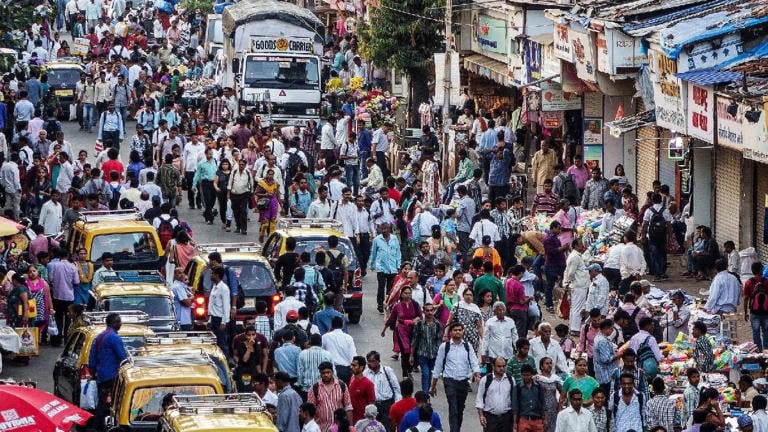
Urban expansion: Urban areas have seen significant growth, with large clusters around existing metropolises and industrial hubs. Smaller towns and peri-urban regions â non-urban landscape that surrounds or is adjacent to a metropolitan area â have also grown, reflecting the spillover effects of urbanisation
Rural decline: Many rural areas show decreased population density, particularly in regions with low economic development or harsh environmental conditions. Out-migration from rural zones to urban areas has been a key driver of this decline
Stability in agricultural heartlands: Some regions, particularly in agriculturally prosperous belts, have remained stable. This reflects balanced population retention, likely due to local economic opportunities
Coastal growth: Coastal regions have emerged as hotspots for population growth, driven by industrialisation, trade, and urbanisation in port cities
Uneven growth patterns: The data shows stark contrasts in growth, with some areas witnessing rapid population increases while others experience stagnation or decline within a few kilometres
What the data says
The GHSL data, derived from satellite imagery and census records, provides an unparalleled look at population changes at the one-kilometre resolution:
Growth areas are depicted in shades of blue, highlighting regions of increased population density
Declining zones are marked in red, signalling population loss
Stable areas are yellow, representing little to no change in density
This high-resolution view moves beyond state or district boundaries, offering a bottom-up perspective on demographic shifts. It underscores the localised impacts of urbanisation, migration, and policy interventions.
Data has limitations
The GHSL raster data provides estimates and trends, not exact counts
Localised anomalies may result from data smoothing at a one-kilometre resolution